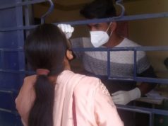
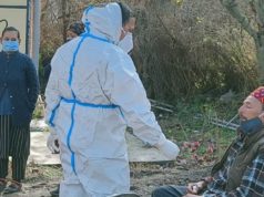
Solan: Aiming to control the spread of Coronavirus pandemic in the state industrial hub, the Baddi-Barotiwala-Nalagarh, the local police have initiated geo-tagging of patients which will ascertain the geographical location of a Covid-19 patient in a Google map.
A leading news daily has reported that the police have identified area, where virus cases have spiked. Red dots on the Google maps indicate home isolation and green dots indicate that the patient has been shifted to the Covid care facility. While, bigger dots reflect the concentration of the cases. Primary contacts are also being tagged for surveillance.
This can also help the people to avoid those areas where more such cases are coming to the fore.
BBN area of the Solan district is most affected area from the Coronavirus. Solan district has reported maximum cases in the state and over 80 percent cases of the district have reported in BBN area only.
Meanwhile, coronavirus cases in the state have crossed 4000 mark. State has tested 163 cases on Sunday. Virus has now started spreading in the rural area as in Kangra district, 34 positive cases have tested in a village Panjehda of Nurpur division.


