
The Himachal Pradesh Housing and Urban Development Authority (HIMUDA) will conduct a drone survey to digitally map land parcels for the proposed Him Chandigarh City project at Baddi. The move is aimed at ensuring accurate land records and speeding up the implementation of the project.
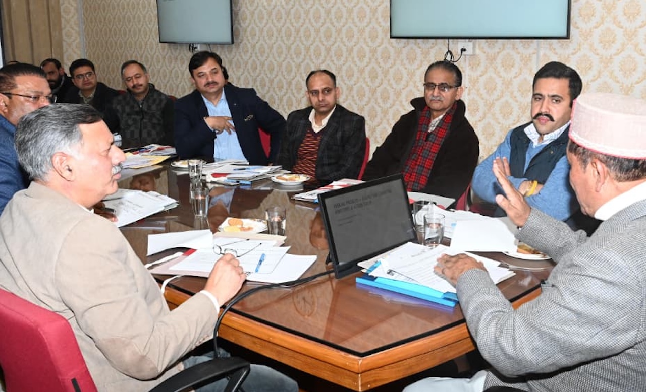
The decision was discussed during a Cabinet Sub-Committee meeting held here to review the progress of the project. The meeting was chaired by Revenue Minister Jagat Singh Negi. Housing and Town and Country Planning Minister Rajesh Dharmani was also present.
Deputy Commissioner Manmohan Sharma gave a detailed presentation on the project. He briefed the committee about land availability and related revenue records. All land records were placed before the Revenue Minister during the meeting.
Officials informed the committee that Himachal Pradesh Housing and Urban Development Authority would soon begin a drone-based survey to digitally map the identified land parcels. The survey is expected to help in proper planning and avoid disputes related to land ownership.
It was informed that 3,428 bighas of land have already been allotted for housing purposes. In addition, around 5,000 to 6,000 bighas of land from the common pool have also been identified for the project.
The committee was also told that HIMUDA and the Revenue Department, in coordination with the concerned tehsildars, will jointly undertake the land consolidation process. The exercise is expected to be completed within one month, after which a single consolidated land chunk will be created for the Him Chandigarh City project at Baddi.


